Collection Spotlight: Indigenous Voices through GIS

by John A. Olson, Librarian for Government and Geo-Information
Everywhere we look these days there are maps and geospatial resources all around us. Open Street Map, Google Maps and Google Earth are on our laptops and our cell phones. These mapping resources can find and locate many different kinds of resources that are created or input by many different people, groups or industries. But when it comes to finding or locating geographic information or geo-spatial resources created by specific voices, i.e., Indigenous people, it can quickly become a difficult challenge. Where does one begin to start looking for resources from specific voices?
Indigenous mapping in North America changed when first contact was made with Europeans during the 16th century -- it went from pictography to cooperative methods with European influence. Mapping content of Indigenous locations was not common on printed maps up through the 19th century, although there are a few examples. However, there are few examples of maps by Indigenous voices during this period.
The good news is that in today’s world of internet access the search for these voices is better than it used to be. Using GIS as a tool can query and display data and push out cartographic layers and maps to the Internet created and used by Indigenous people.
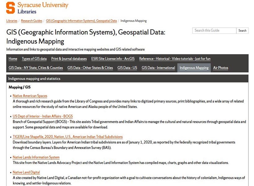
The Libraries’ GIS, Geospatial Data Research Guide has a tab for Indigenous Mapping sources. Here are links to interactive and static mapping and data resources created and provided by Indigenous people, groups, institutes and organizations, along with a few book and atlas titles. It’s a wonderful starting point to explore more about this specific voice of knowledge that forms a body of information not found elsewhere.
To provide feedback or suggest a title to add to the collection, please complete the Resource Feedback Form.
