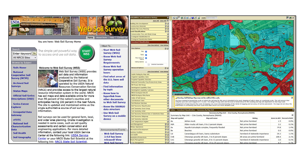
Collection Spotlight: Web Soil Survey

by John Olson, Librarian for Government and Geo-Information
Are you ready for some dirt? Or should I say soils? This spotlight is all about the Web Soil Survey database and website from the United States Department of Agriculture. This is a comprehensive data visualization and interactive mapping website where you can find and customize soil and land use maps with over 150 different variables and layers for any part of the country. Maps can be downloaded as an image file or as a polygon layer to use in a GIS software program.
Access is available from the library’s database menu under the letter “S” for “Soil Surveys,” or under the “Earth Sciences” and “Environmental Studies” collections in the “All Subjects” pull-down list. It is also a freely accessible public domain website from the U.S. Department of Agriculture.
Besides the mapping function of this site there are numerous links to other soils information, tools, and data sets from the USDA. Like a Soil Series mapping tool, and a Geospatial Data Gateway. This site also contains downloadable PDFs for historical county soil surveys dating back to the 1890’s. Most of the surveys from 1939 on will also have detailed aerial photographic coverage of soil boundary layers for the respective county. There are also print copies of many of these older county soil surveys located in the Gov Docs and Map collections on the third floor of Bird Library.
The best part of this database is the ability to truly customize a soils-based map to your needs, be it for a research paper or for conducting research on an environmental, commercial or agricultural issue or study. To get the most benefit from this resource it is recommended that you first read the “Four Basic Steps” instructions on the homepage or, you can click on the small HELP button at the top righthand corner of the page before getting your hands dirty. To provide feedback or suggest a title to add to the collection, please complete the Resource Feedback Form.
